Greetings! This is a guest post from Granger Meador, physics teacher at Bartlesville High School and avid day hiker. I have been tracking my many day hikes since July 2009, documenting them on my own blog at
meador.org. Back in 2009
I first visited the RSU Conservation Education Reserve. In mid-September 2014 my girlfriend and I were looking to get out on the trails and drove to Claremore to enjoy the reserve trails, after I'd tracked down
a nice online GPS map created by students at the local vo-tech; I had
exported and saved that map to guide our hike.
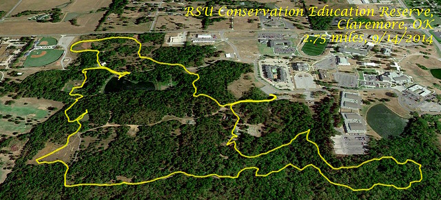 RSU Day Hike (click image for RSU Reserve slideshow)
I started the MotionX GPS tracker on my iPhone as we entered
the gate near the Terra Lab to circumnavigate the reserve on its Butterfly Loop, Southwest Trail, Wetland Loop, and Weather Trail for
a total walk of 2.75 miles.
The butterfly garden was buzzing with
bumblebees. Wendy got
a shot of the fish and a frog in
the pond, and
a bloom. As grandparents with grandchildren approached the garden, Wendy and I took off on the Butterfly Loop.
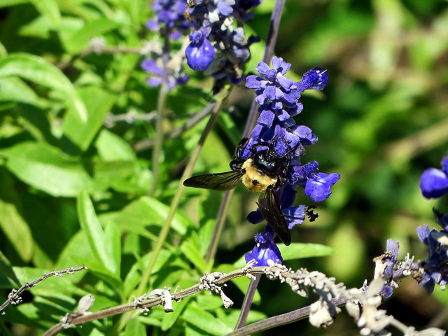 Bumblebee
A glade with
benches featured
a trailside tree which had been fully consumed by
bagworms. The trail wound around the southeast portion of the reserve, and we heard another group of hikers in close pursuit. We lost them when we turned off onto
the Southwest Trail, which had a profusion of yellow blooms.
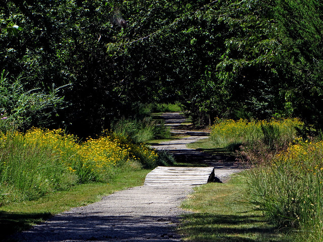 Southwest Trail
A muddy pond
Southwest Trail
A muddy pond had
a turtle swimming along with only its eyes and snout protruding from the water. A meadow had
sumac, while
the wetlands featured small cattails and plenty of bugs.
The big pond featured a windmill and extensive
plant growth in the water teeming with tiny fish.
A couple of dragonflies flew by and settled down, intent on, er, coupling.
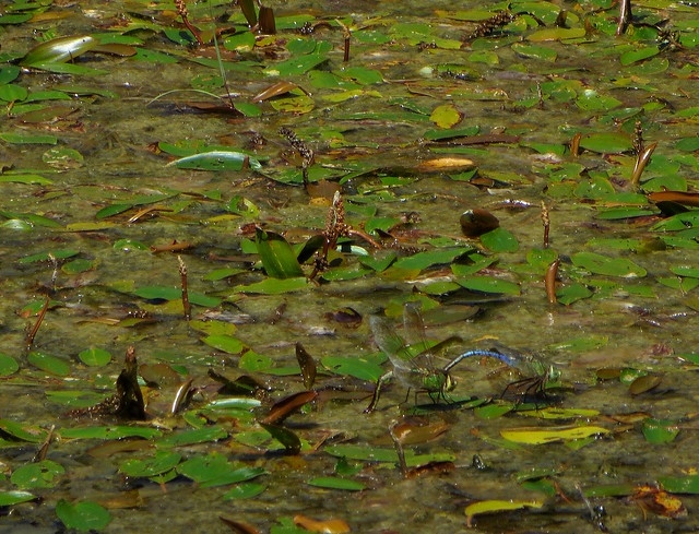 Dragonfly Couple
It was a lovely walk in late summer, and Wendy and I look forward to continuing to enjoy this wonderful resource.
Click here for a slideshow from our walk through the Conservation Education Reserve
No comments:
Post a Comment